Hello!!
It's been a while, but to be fair its also been bloody horrible weather!!! the Team have been out exploring anyway and even encountered some almost-snow on our last explore!
Without further ado, here is: RAF West Raynham
It's been a while, but to be fair its also been bloody horrible weather!!! the Team have been out exploring anyway and even encountered some almost-snow on our last explore!
Without further ado, here is: RAF West Raynham
History
RAF West Raynham was built between 1938 and 1939 about 2 miles west of the village of West Raynham in Norfolk, seeing action for the first time on 4th July 1940. During WW2 the base was provided with a control tower for very heavy bomber stations, this was one of only four ever built.
RAF Scunthorpe and RAF Great Massingham were both built as sattelite bases for West Ryanham but eventually grew to house their own squadrons.
The Site was used post-war for training and in the mid-1960s the East Side was developed as a SAM (surface to air missile) site and equipped with radars and a Bristol Bloodhound Mk2. Between 1963 and 1982 RAF West Ryanham hosted annual summer training camps for the Royal Observer Corps. the camps lasted for 8 weeks and had upto 500 observers attending technical training sessions.
The base was officially closed in 1994 and kept but the Ministry of Defence who later decided it would be of no further use in 2004. The associated houses were, at first, left to fall into disrepair but 170 were later sold as civilian housing after a petition by the then MP for North Nofolk, Norman Lamb who pointed out there was a lack of affordable housing yet these houses were unoccupied.
Since 2005 the site has had a number of owners, The Welbeck Estate Group & Hodge Homes (2006-2007), Tamarix Investments (2007-?) and the side is now owned by FW Properties of Norwich, acting administrators for Moore Stephens.
there has been various planning proposals and acceptance, including building an eco-village on the site but no building work has taken place. Two of the hangers have been brought by a company called Norfolk Oak, previously owned by Anmer Hall.
Explore
We had a great time on this explore but it was slightly married by the freezing cold weather and the pissing rain constantly! I got about 15 minutes flight time with my drone (footage below) before the heavens opened and we were forced to retreat into the car to wait for the worst to clear. Thank the gods for car heating systems!!! Aside from the horrendous weather though it was great, once we were inside the control tower it was fairly dry and shielded from the worst of the wind! Just as we were driving away it did start to fall with some snow which quickly turned into sleet, so we were glad we cut the explore short with just the control tower!
We didn't encounter anyone else on the explore until right on the end where we had a bit of a hair raising experience. The main gate had been open when we arrived so we drove right up to the control tower, but it was padlocked shut when we went to leave! Luckily for us though, a kindly chap pulled up behind us and opened it back up. We sped off without saying a word but nodding a thank you in appreciation!
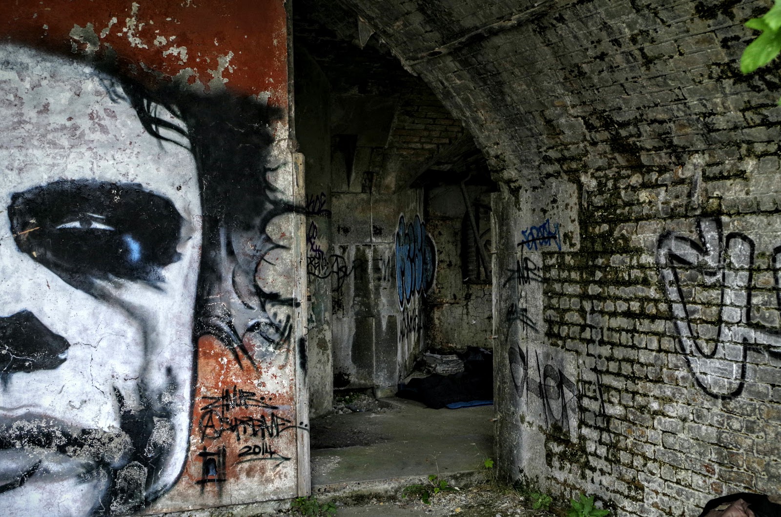
Photos
Whole set can be found here: https://goo.gl/photos/xVXBympyBvXCBhj39
Don't forget to checkout the video of this one!!
Whole set can be found here: https://goo.gl/photos/xVXBympyBvXCBhj39
Don't forget to checkout the video of this one!!
|
|
|
||||||
 |
|
|
||||||
 |
|
 |
||||||
 |
 |
 |
||||||
 |
 |
 |